
Yes — Gunung Api is climbed from Banda Neira by boat and on foot, and it is steeper than its height suggests. The cone rises roughly 640 metres straight out of the sea; local guides work on about two hours up, starting before dawn. Its 1988 eruption sent lava into the sea on the northern side, and the reef that regrew over that flow is now the most-dived site in the Banda group.
Gunung Api is the shape you see in every photograph of Banda Neira: a near-perfect cone sitting across a narrow channel from the town, with the fort in the foreground. It is also an active volcano that erupted within living memory, and both of those facts are on the itinerary — one above water and one below it.
What Is the Climb Actually Like?
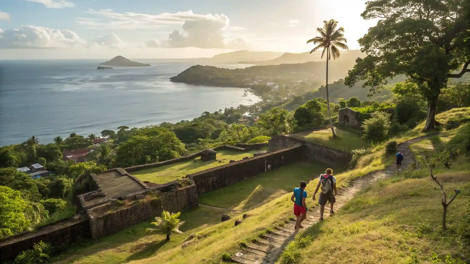
Short and unrelenting. Because the cone emerges directly from the sea there is no approach walk and no flat ground: the gradient starts at the shoreline and continues to the rim. The lower section runs through vegetation, then thins out to loose volcanic ground and open sun. Guides from Banda Neira start groups before first light for the obvious reason — by nine in the morning the upper slope is brutal. Their working figure is about two hours up. Treat that as guiding experience rather than a published trail time, because there is no graded, signposted path here in the way there is on a national park trek.
| Item | Detail | Confidence |
|---|---|---|
| Height | About 640 m; sources cite roughly 640–660 m | Well established, figure varies by source |
| Most recent significant eruption | 1988, with flows reaching the sea | Well established |
| Climb time | About 2 hours up, less down, pre-dawn start | Local guiding practice, not a published trail standard |
| Terrain | Steep throughout, loose ground above the tree line, no shade | Consistent guide reporting |
| Access | Short tender or local boat crossing from Banda Neira | Standard practice |
Anything not firmly established is labelled as such rather than presented as fact — including the climb time.
What Do You See From the Top?
The whole archipelago, which is the point. Banda Neira and its forts sit directly below, Banda Besar curves away behind, and on a clear morning the outer islands — including Run, the island the English traded for Manhattan in 1667 — lay out across the water. It is one of the very few places where the geography of a historical event is legible in a single glance.
Why Is the 1988 Lava Flow the Best Dive in the Group?
Because it is a controlled experiment nobody designed. In 1988 the flows entered the sea on the northern flank and killed everything they covered — a total reset of a tropical reef with a known start date. What happened afterwards became one of the most-cited coral recovery stories in the region: dense hard-coral cover was reported growing over the flow within roughly a decade, far faster than reef scientists generally expect.
Diving it now, you swim over black volcanic rock plated with table and staghorn corals, with the slope dropping away into deep water. The contrast with the mature walls elsewhere in the Bandas is the whole appeal: one site is centuries old, the other is younger than most of the people looking at it. Reef ages and coral cover here are drawn from the widely reported dive and research literature on the 1988 flow rather than from our own survey work, and are presented on that basis.
How Do You Get Here at All?
By boat, in a window. The Banda Islands have no realistic scheduled access for expedition travellers; they are reached on the crossing between Komodo and Raja Ampat, and that crossing runs in the March–April and September–November weather windows. The full route, distances and cost picture are on the Komodo to Raja Ampat crossing page, and the Banda leg specifically — volcanoes, hammerhead seasonality and the honest odds — is on the Banda Sea crossing page. For the town at the volcano's foot, see our guide to Banda Neira.
Frequently Asked Questions
How high is Gunung Api in the Banda Islands?
Roughly 640 metres, though sources cite figures between about 640 and 660 metres. It is a small number that badly understates the climb: the cone rises straight out of the sea, so there is no gentle approach and no flat section.
How long does the climb take?
Local guides generally describe two hours up and rather less down, starting before dawn to beat the heat. Treat that as the guides' working figure rather than a published trail time — there is no signposted, graded path.
Is the climb difficult?
Yes. It is steep, loose underfoot in places and unshaded once you are above the tree line. It is not technical, but it is a genuine effort, and it is not a sensible outing for anyone unsteady on rough ground.
When did Gunung Api last erupt?
The most significant recent eruption was in 1988, when lava flows reached the sea on the northern side of the island. That flow is now the island's most famous dive site.
Why is the lava-flow dive site so well known?
Because it sterilised a reef and then let science watch it come back. Dense hard-coral cover was reported over the flow within roughly a decade, which is exceptionally fast, and diving it means swimming over table corals growing on rock younger than you are.
Do expedition boats always include the climb?
No. It depends on the schedule, the sea state at the landing and whether guests want it. Ask for it at itinerary stage rather than assuming it — an early start has to be planned into the passage.
Where These Numbers Come From
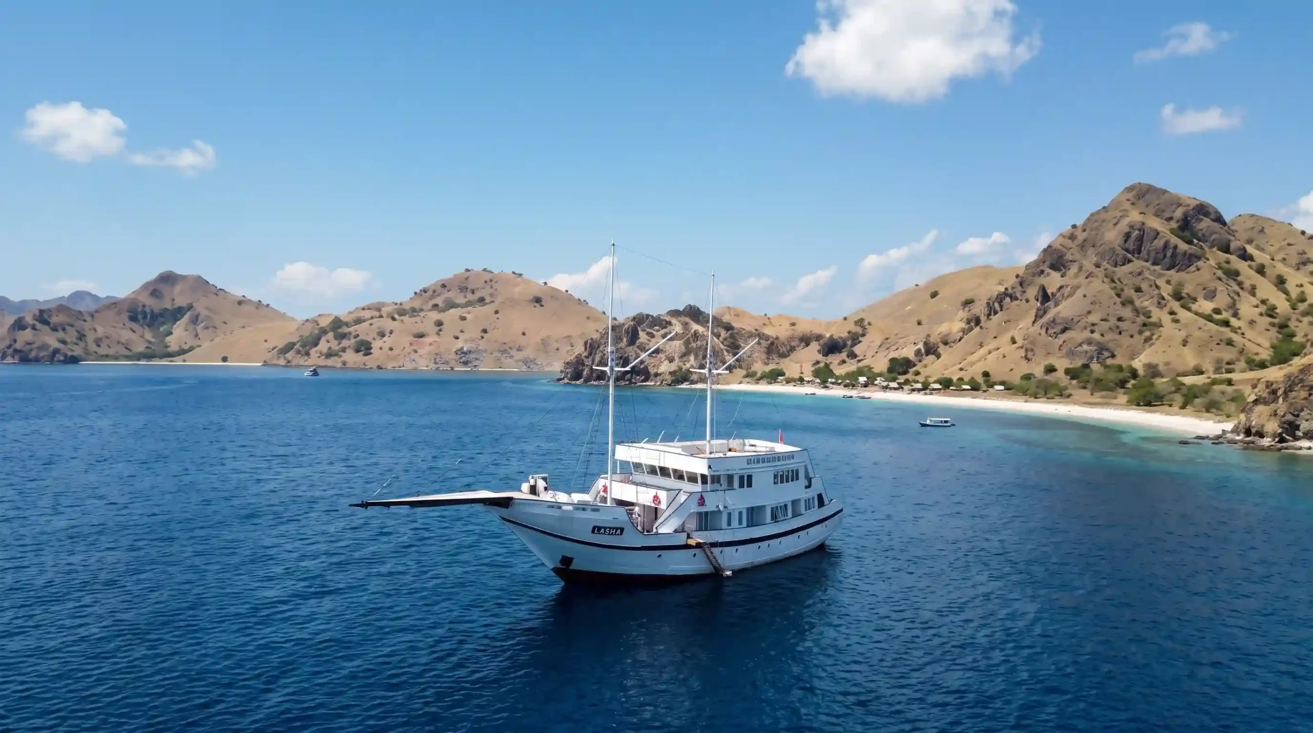
Vessel dimensions, tank capacities, cabin counts and safety inventory come from LASHA's own published specification sheet on the yacht page. Charter figures are the published 2026–2027 rate file on the rates page — the same document the Komodo Luxury charter desk quotes from, reproduced in full rather than hidden behind an enquiry form. Government fees are cited to their regulation or issuing body in the text. Anything that is an operational estimate rather than a published figure is labelled as an estimate where it appears. LASHA begins her maiden public season on 17 August 2026, so there are no guest reviews to quote yet and none are invented here. Volcanic and reef-recovery material on Gunung Api's 1988 eruption is drawn from widely reported dive and research literature and is attributed as such rather than presented as our own measurement. Figures checked 1 August 2026.
Plan This With the Charter Desk
Tell the desk if the climb matters to you — a pre-dawn start has to be built into the passage plan. Every LASHA Phinisi Cruise booking is handled by Komodo Luxury, the vessel's official marketing and booking partner — an operator working Indonesian waters since 2015 and part of Juara Holding Group. Send your month, guest count and how many of the party dive, and you get a written quotation drawn from the same rate bands published on this site, with every separately billed item listed before anything is paid.
WhatsApp +62 811 3823 875 [email protected]
⚓ This guide is part of the journal of the LASHA Liveaboard — the 52.5-metre luxury phinisi sailing Komodo National Park and Raja Ampat. Official booking only via lashacruise.com · WhatsApp +62 811-3823-875 (Komodo Luxury).